Modern and certified equipment
for reliable projects
EnsoGreen operates modern and certified mechanical equipment that ensures the safe and efficient execution of environmental projects of any scale.
Vehicles & Machinery
We have a fleet of specialized vehicles and machinery for every need:
Renault Maxity Multitel MT 182 DS
3,5t aerial lift truck with an 18m platform and a 200kg basket for safe work at height.
Greentec Cheetah 30/80 (3,5t)
Branch chipper with its own crane & grapple, 75 HP Kubota engine, with hand or crane feeding and full remote control.
Commercial vehicles
Suitable for transporting forestry or landscaping equipment and the corresponding personnel.
Innovative solutions with Drones
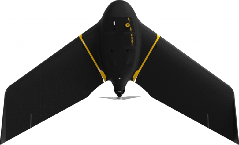
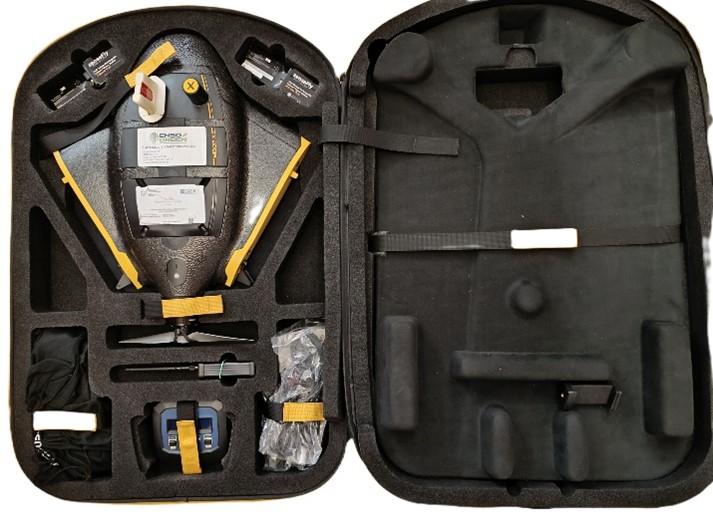
At ENSOGREEN, we continuously raise the bar in the quality of our services by investing in state-of-the-art equipment for demanding professional applications. Our fleet includes the AgEagle eBee X, one of the leading fixed-wing drones for large-scale professional photogrammetry. Featuring fully automated flight operation and a dedicated photogrammetric camera with variable orientation, it delivers high-accuracy data and enables efficient production of photogrammetric outputs.
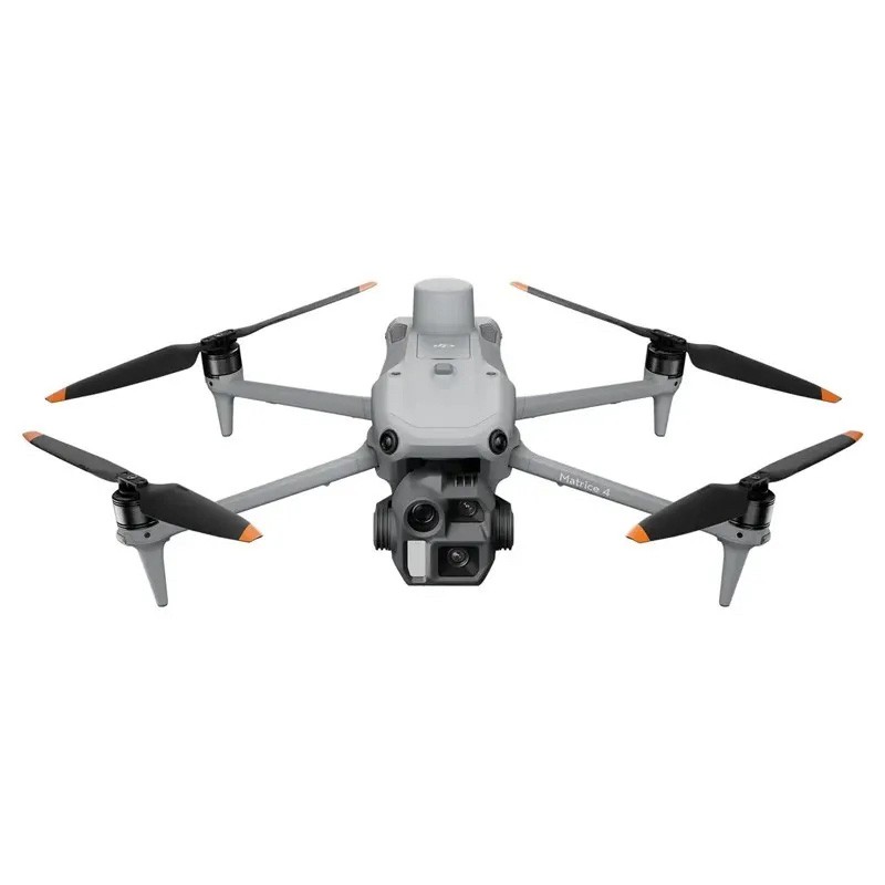
At the same time, we have recently strengthened our equipment with the DJI Matrice 4E, a modern enterprise-grade professional drone designed for demanding mapping, inspection, and geospatial data acquisition missions, offering increased accuracy, reliability, and operational flexibility.
For smaller-scale projects or applications that require speed and portability, we also operate the DJI Air 2S, a versatile drone ideal for high-resolution aerial photography, on-site documentation, and rapid inspections.
Certifications & Reliability
All our equipment carries the necessary certificates of conformity from independent inspection and certification bodies. In addition, EnsoGreen operates in accordance with international standards from accredited certification bodies:
- ISO 9001:2025 – Quality Management System
- ISO 14001:2015 – Environmental Management System
- ISO 45001:2018 – Occupational Health and Safety Management System
- ISO 39001:2012 – Road Traffic Safety Management System
- ISO 50001:2018 – Energy Management System
- CEN EN 16636 standard
Software Licenses
At ENSOGREEN, we leverage the most advanced software for design, mapping, and photorealistic visualization, enhancing the accuracy and quality of every project. Our licenses are professional and obtained from authorized resellers, ensuring reliability and full technical support.
We use software tools such as:
- ArcGIS Pro for GIS data analysis and the creation of 2D/3D maps. It is the leading comprehensive geographic information system (GIS) by Esri.
- Pix4D Mapper and eMotion for professional drone mapping and flight planning.
- ZWCAD Pro and RHINO for precise CAD and the creation of 3D models.
- Lands Design and V-Ray for photorealistic rendering of gardens, green spaces, and landscapes.
The combined use of these tools enables our team to deliver studies, photorealistic renderings, and high-level technical solutions, always with respect for the environment and the client’s needs.


