
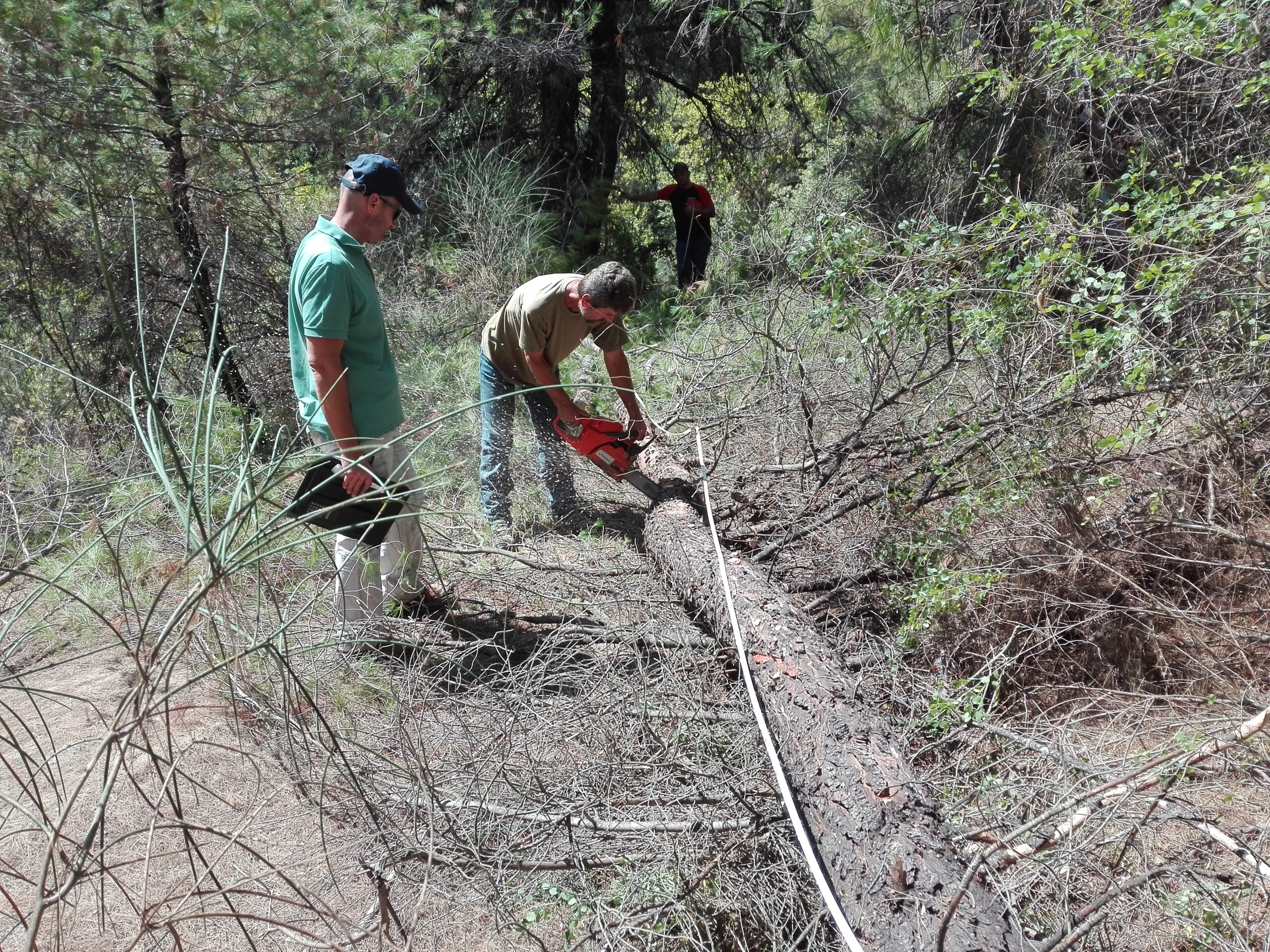
In Greece, land ownership and natural environment management are concepts inextricably linked to forest legislation. Many property owners, as well as public bodies, often face a labyrinth of bureaucracy, ambiguities, and legal commitments that threaten the utilization of their property.
This is exactly where the Forester intervenes. They are not just the scientist who studies the forest, but the technical advisor who secures the character of your land, resolves disputes with the State, and conducts the necessary environmental studies.
At Ensogreen we offer comprehensive forester services, covering the full spectrum of needs, from a simple forest map objection to complex forest engineering projects.
Forest Maps & Objections: How to protect your property
The burning issue of recent years is forest maps. The forest map determines the character of an area (forest, grassland, or agricultural) and, although theoretically it does not affect ownership status, in practice, it determines the value and the possibility of exploiting the land.
But what happens when the map shows your field as a forest?
1. Correction of Manifest Errors
Technical errors are often observed (e.g., incorrect boundary mapping, appearance of crops as forests). In these cases, the forester submits a request for the correction of a manifest error, so that the Administration corrects the mistake at no cost to the citizen.
2. Submission of Objections to Forest Maps
When the disagreement is substantial (e.g., an area that has been cultivated for years appears as forest), the submission of Objections is required. Here, scientific documentation is critical. The forester undertakes:
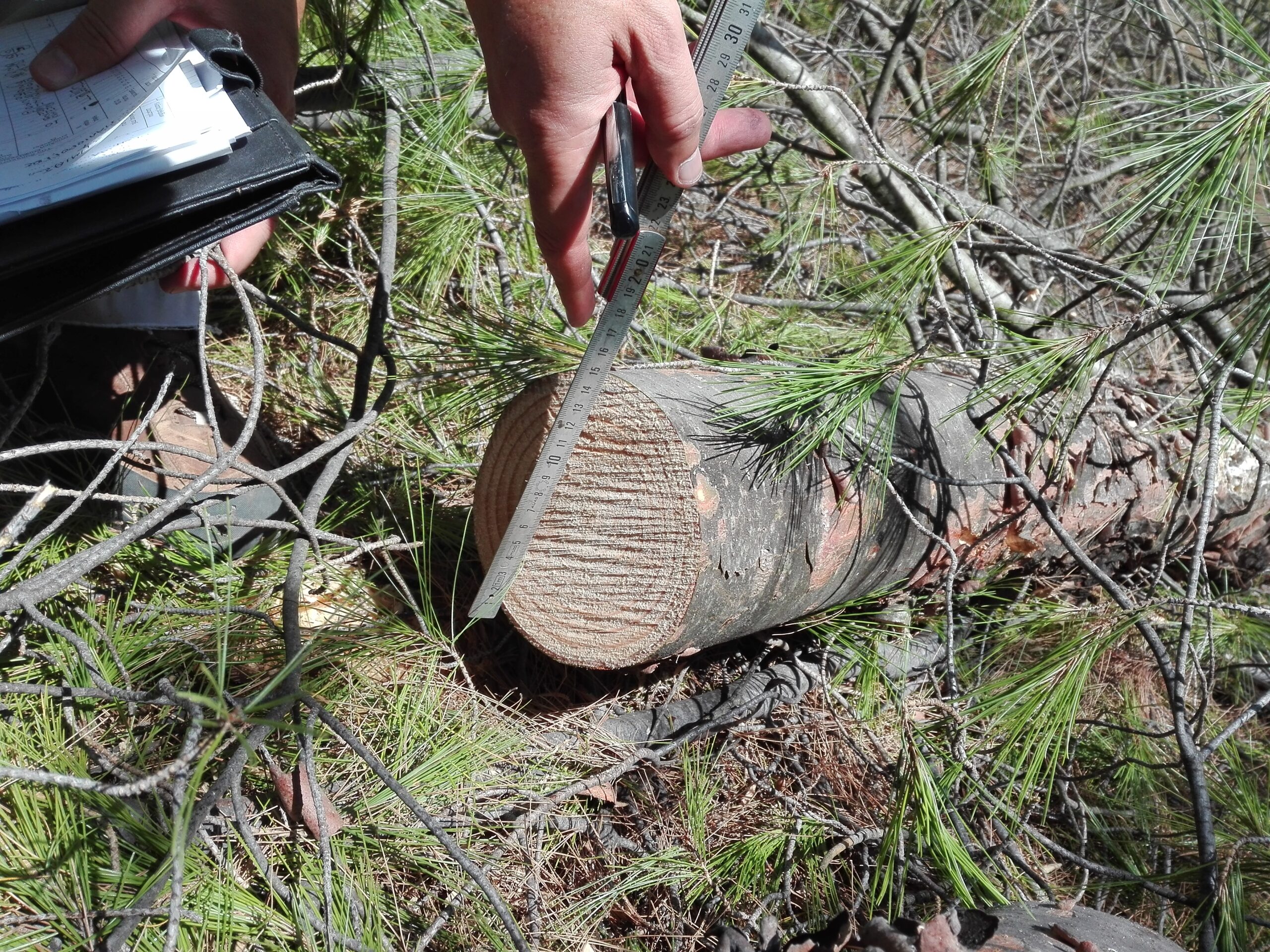
- The drafting of a technical photo-interpretation report (studying aerial photographs from 1945, 1960, up to today) to prove the timeless use of the land.
- The invocation of special provisions (e.g., areas with aspalathos and phryganic vegetation that are now characterized as grasslands and not forests).
- Representation in the Objection Examination Committees (EPEA).
Cadastre Cases and Land Characterization
The relationship between Forest Map and Cadastre is direct. An area characterized as forest is often claimed by the State due to the “presumption of ownership”.
The forester services are necessary for:
- Acts of Characterization: To officially know if an area is forest or non-forest, before purchases or investments.
Environmental Studies and Ecosystem Management
Beyond private cases, Ensogreen specializes in large-scale studies, following the most modern technical specifications (as updated by Government Gazette 6930/B/2024).
1. Forest Management Studies
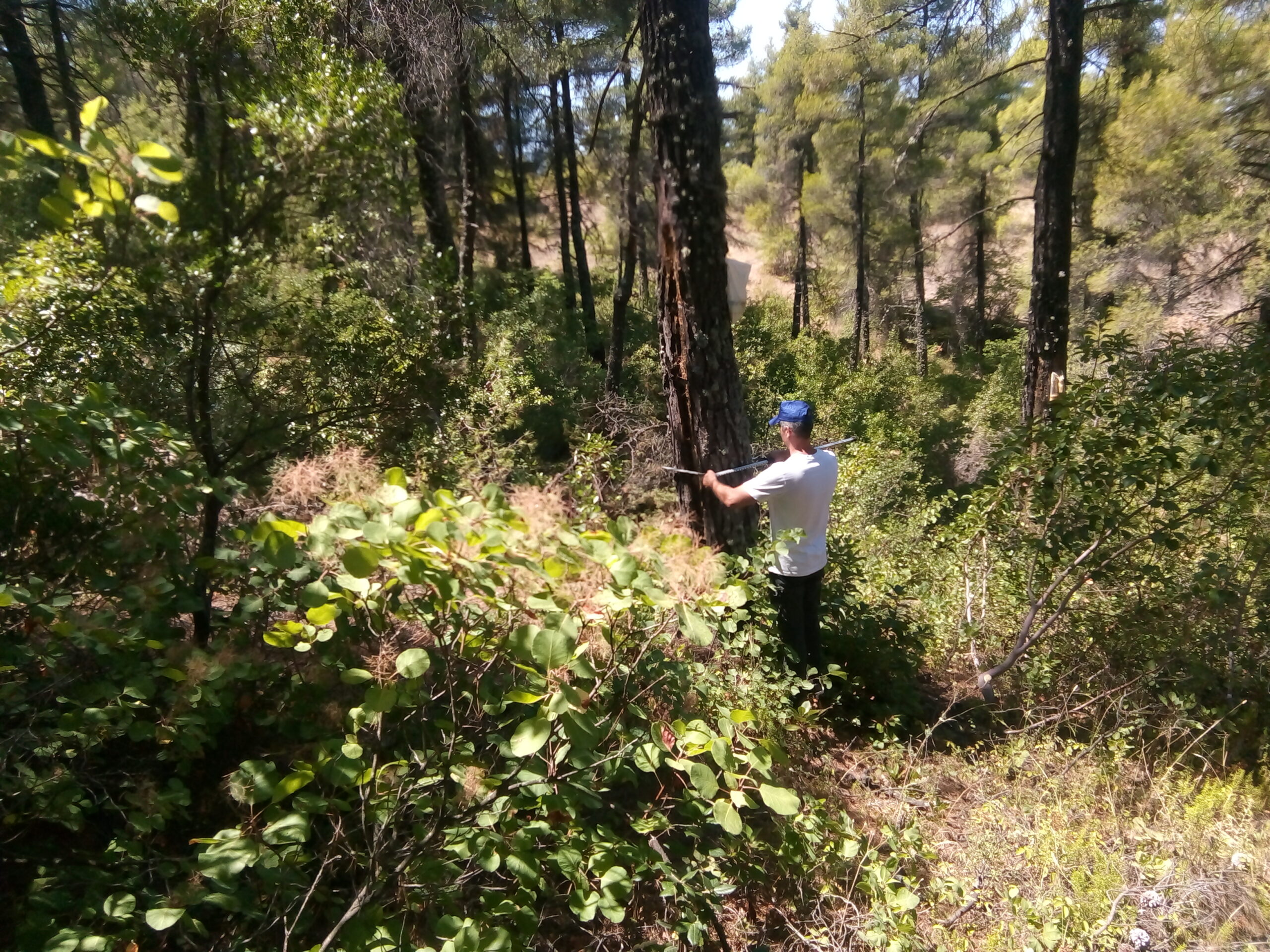
Necessary for the management of forests (public or private), the determination of the allowable cut (how many trees are allowed to be cut), and the protection of biodiversity.
2. Forest Engineering Projects
Design and supervision of projects such as:
- Opening of forest roads and trails.
- Fire protection projects.
- Landscape configurations and reforestations.
Why choose Ensogreen?
There is confusion in the market regarding the role of landscaping companies. At Ensogreen, what makes us stand out is the scientific training and experience we possess to handle complex forest law and environmental management cases.
Whether you are a private individual who wants to secure their property against forest maps, or an entity needing a specialized management study, our team of foresters is your reliable partner.