
What applies to forests and forest areas that have been cleared, to agricultural areas
that are forest lands but have title deeds, and when there are title deeds
for fields that have become forested. What happens with transfers, ownership
registration, and agricultural subsidies
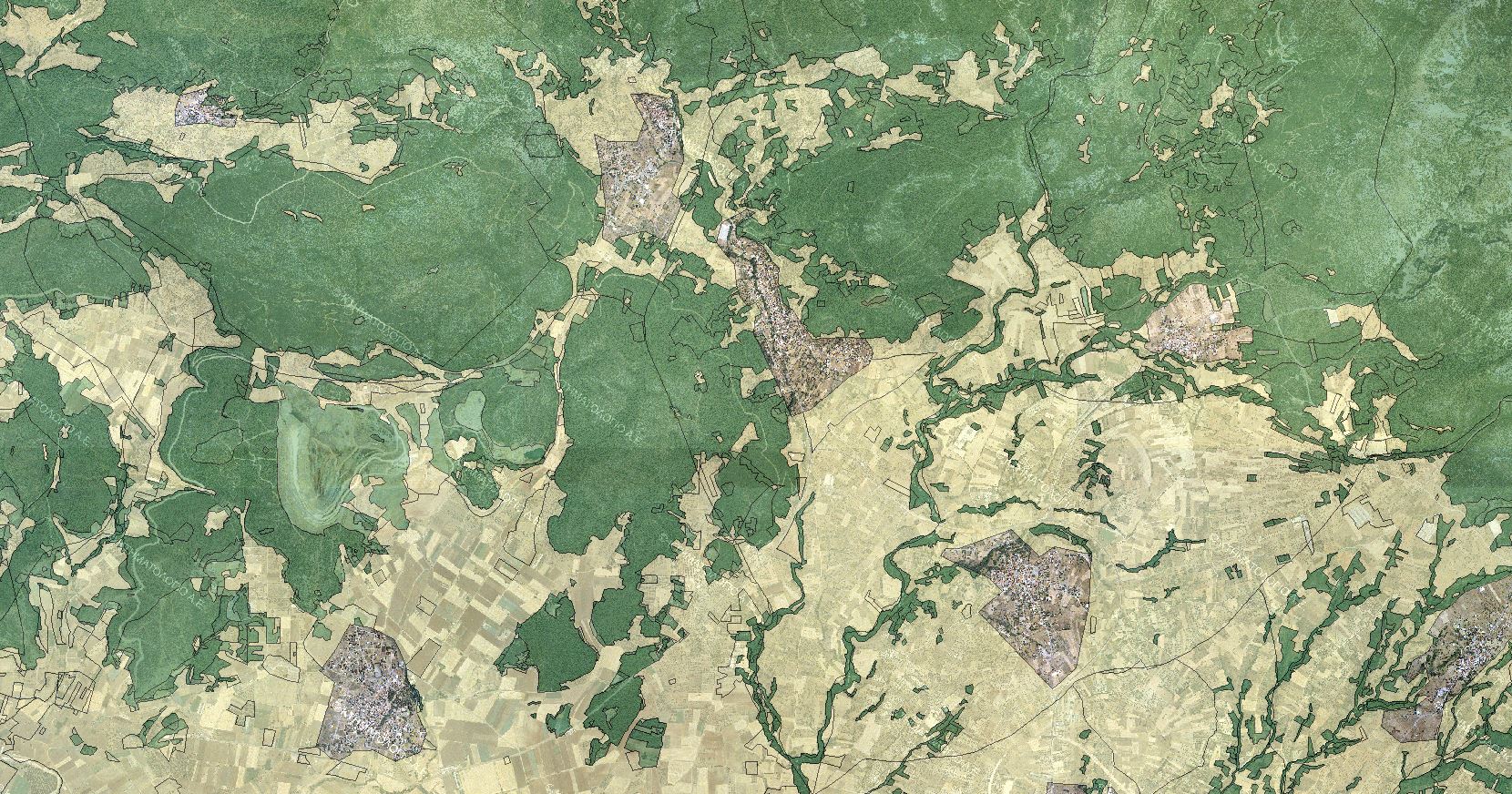
-«The dominant problem highlighted by the Forest Maps is the ownership regime
in areas characterized as “AD” and “DA”, i.e., former agricultural areas
that became forested due to abandonment or forest areas that were illegally cleared
for cultivation,» notes Grammati Baklatsi, a surveyor-urban planner, engineer
and technical consultant for forest maps, to “Eleftheros Typos” and journalist
Marina Xypnitou, stating that:
-«In order to resolve this issue and provide a definitive solution to the ownership
regime in areas of Greek territory where the presumption of ownership
by the State does not apply, the Ministry of Environment and Energy legislated that for these areas
(Ionian Islands, Crete, Lesvos, Samos, Chios, Cyclades, Kythira, Antikythira,
Dodecanese and Mani) it does not assert ownership rights over forests and forest
areas, unless it possesses title deeds (Article 152 of Law 4819/2021). Practically, if
a proven private area is characterized as forest land, it is not claimed
by the Greek State. It remains private land, which does not affect its
use, in relation to the previous institutional framework».
The “new problems”
«The legislative corrections made by the Ministry of Environment, as well as the ratification
of the largest percentage of forest maps, are not enough to mark the beginning
of the end of the Forest Registry and Cadastre project in our country, since
the dysfunctions of the administration constantly create new problems. Agricultural areas
for which there are title deeds and which have become forested will require citizens to
go to the Forest Directorate and Cadastre to secure their ownership. Properties
with houses with building permits that were issued before the 1975 Constitution and
their owners had taken all necessary actions with the Forest Service,
in order for these to be excluded from the forest map as non-forest areas, remain
forest areas. Also, the 331,874 objections submitted by citizens
are pending and concern a by no means negligible area with a total
extent of 2.5 million stremmata».
-«We expect the ministry, as it has announced, to increase the number of
objection review committees to 200 to speed up the process and stop
the suffering of citizens,» emphasizes Ms. Baklatsi.
According to what the Ministry of Environment and Energy has announced, forest maps have been uploaded to date
for 95% of the territory, with the remaining 5% concerning areas within
settlement boundaries and city plans, while 90% of forest maps have been ratified. The difference
is due to the fact that ratification has not taken place for areas where objections have been submitted and
requests for correction of obvious errors.
Questions-answers regarding forested fields and cleared
areas
What owners need to know about reforested fields and cleared
areas is answered by Grammati Baklatsi, surveyor-urban planner, engineer and
technical consultant for forest maps.
-What happens when there are title deeds for fields that have become forested?
-These are areas that appear in 1945 aerial photographs as agricultural
and subsequently became forested due to abandonment. Regarding the ownership
status of areas that were demonstrably agricultural in the past and
became forested due to abandonment, the Ministry of Environment and Energy, through legislative regulation, recognizes private individuals
as owners of these areas, provided that the State does not establish ownership
rights over them based on a title deed. Thus, the forest ranger, upon request from the
citizen, will examine the following:
a) If there are public title deeds (from will, donation, court decision
etc.).
b) If the area belongs to the State’s ownership for another reason, e.g. as a common or available settlement area,
c) If it is registered in the public land books as public property. For
this, the forest ranger will ex officio request a certificate from the relevant Cadastral Service,
which will only certify whether the specific property is registered as
public property in the relevant registration book.
In case of non-response from the relevant Cadastral Service, the
forest ranger will proceed, within a reasonable time, to process the request of the
citizen who asserts ownership rights over an area that appears as “AD” in the
ratified forest map, without the response from the Cadastral Service, examining the
possible existence of State titles over the area or its possible transfer to the
State for another reason, e.g. as common or available settlement land.
-What applies to areas that are forest lands but have title deeds?
-These are areas with the designation “DD”, which appear in the
1945 aerial photographs as forest lands and in the 2007 aerial photograph again as
forest lands. The ownership status of these areas is decided by the competent
Council for Ownership of Forests, Forest, Grassland and Rocky Areas
(SIDCHVE) for the area, which is responsible for the administrative recognition by the State
of the ownership or other real rights of private individuals or public
or private law legal entities over forests, forest areas, grassland
areas, etc. The application before the Ownership Council is made by the owners
regardless of whether they have submitted objections to the forest map or not, and is very
important for the recognition of their ownership rights regardless of the
character of their property (forest, grassland, agricultural, etc.). For the submission of the
application, a title report prepared by a lawyer and a topographical map of the
property from an engineer are required.
-What applies to forests and forest areas that have been cleared?
-Forests, forest areas that were cleared for agricultural exploitation, without permission from the
relevant forest authority, which appear in the uploaded forest maps with the
primary designation “DA” or “CHA”, provided they continue this use until today
or are under fallow management and are integrated into the integrated system
of OSDI declarations, retain agricultural use for as long as they receive single
aid. These areas continue to bear the designation “DA” or “CHA” on the
forest map, which does not change.
-How will the cleared areas be registered?
-For the mapping of these areas, the Organization for Payments and Control
of Community Aid, Orientation and Guarantees (OPEKEPE) sends to the
General Directorate of Forests and Forest Environment of the General Secretariat of Forests of the
Ministry of Environment and Energy and to the Hellenic Cadastre agency the
geospatial outline of all areas declared with a Single Aid Application
in OSDI.
– Will these areas be transferable?
-After the ratification of the forest map, any transfer, establishment, alteration, and generally
any change of real rights in forest areas in general included
therein, is null and void if not accompanied by a relevant
certificate from the competent service of the relevant Forest Directorate, certifying
the character of the area. The Ministry of Environment and Energy, through legislative regulation, granted the
right to properties that include both forest and agricultural areas to
be transferable, as regards the non-forest part, without this being considered
subdivision.
–Can a private individual claim ownership of an area?
In the event that a farmer wishes to claim ownership of the area they
cultivate, there are various paths they can follow, such as through
cadastral registration or by filing an appeal before the Forest Ownership Councils or
the courts.
-How are OSDI connected to Cadastre and E9?
-A relevant OSDI 2023 circular from OPEKEPE clarified that producers must
submit evidence of legal possession of the agricultural parcels. Such as:
A. Agricultural parcel leases.
B. Registration of KAEC (National Cadastre Code Number).
C. Registration of ATAK (Property Identification Number).
The data declared by the beneficiaries via KAEC will be cross-referenced with
the Cadastre database, as well as the AADE (E9) database.
Source: https://ecopress.gr