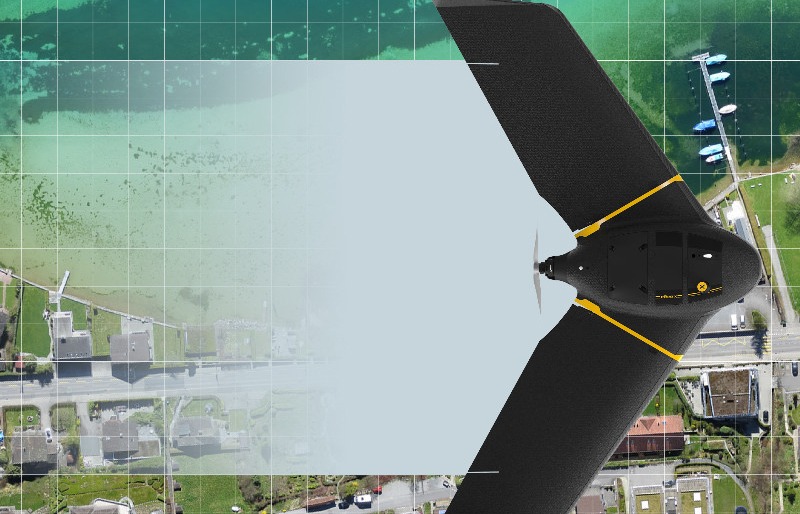
ENSOGREEN provides professional aerial mapping and photogrammetry services using the AgEagle fixed-wing eBee X drone, as well as DJI quadcopters for targeted area surveys.
Drone Mapping & Photogrammetry
We undertake the complete aerial survey of your project, offering:
Data processing is carried out using RTK/PPK (HEPOS) and the leading photogrammetry software Pix4Dmapper.
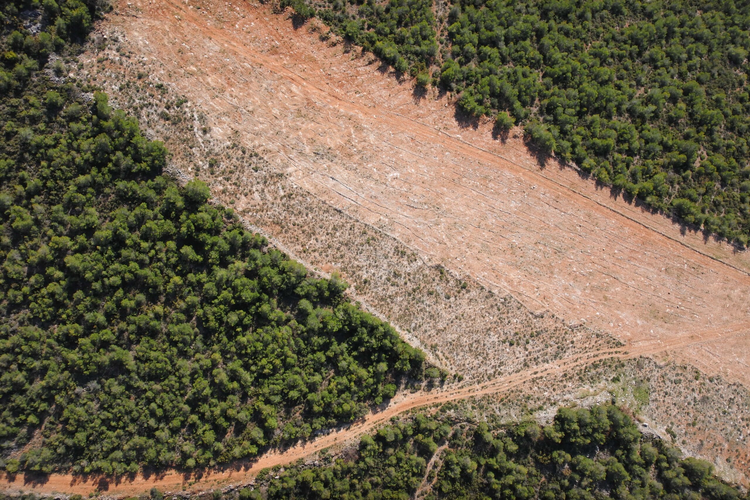
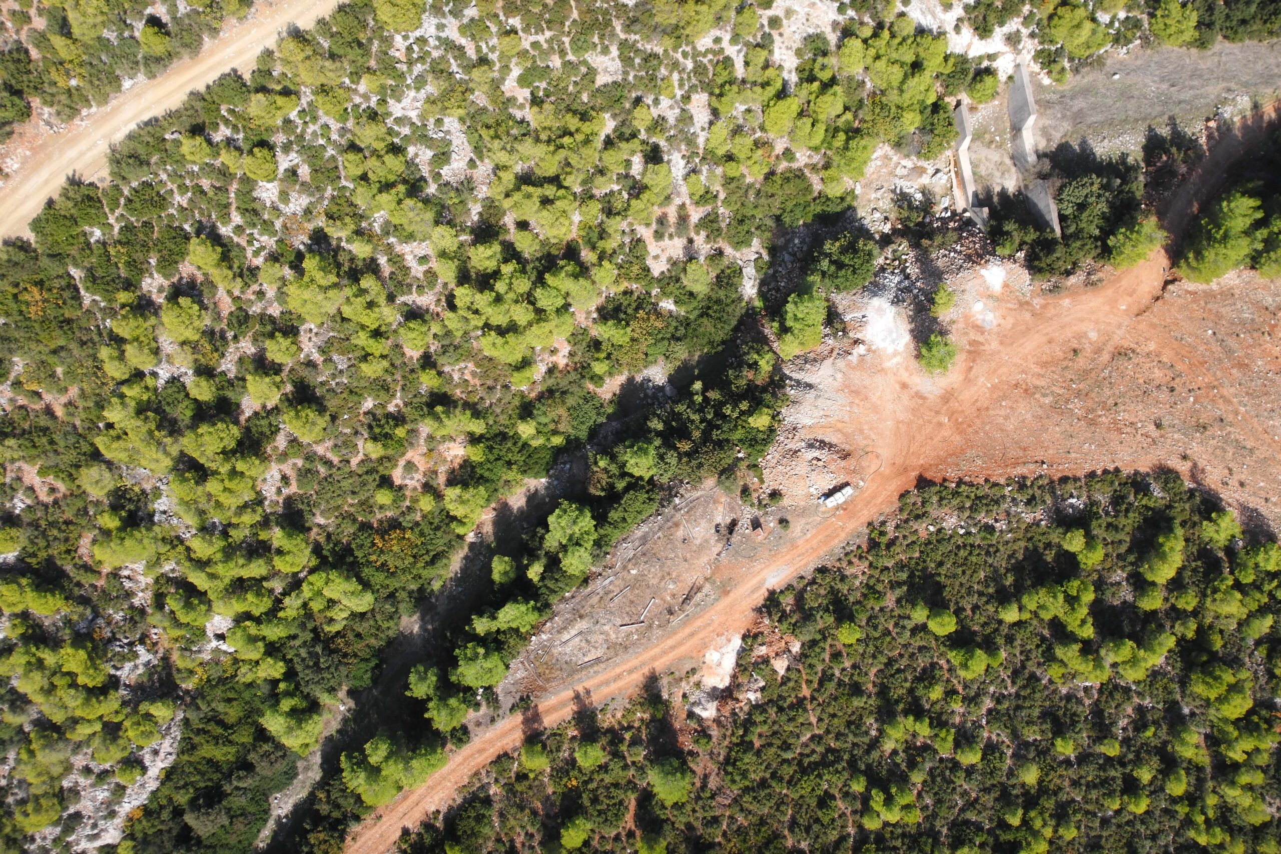
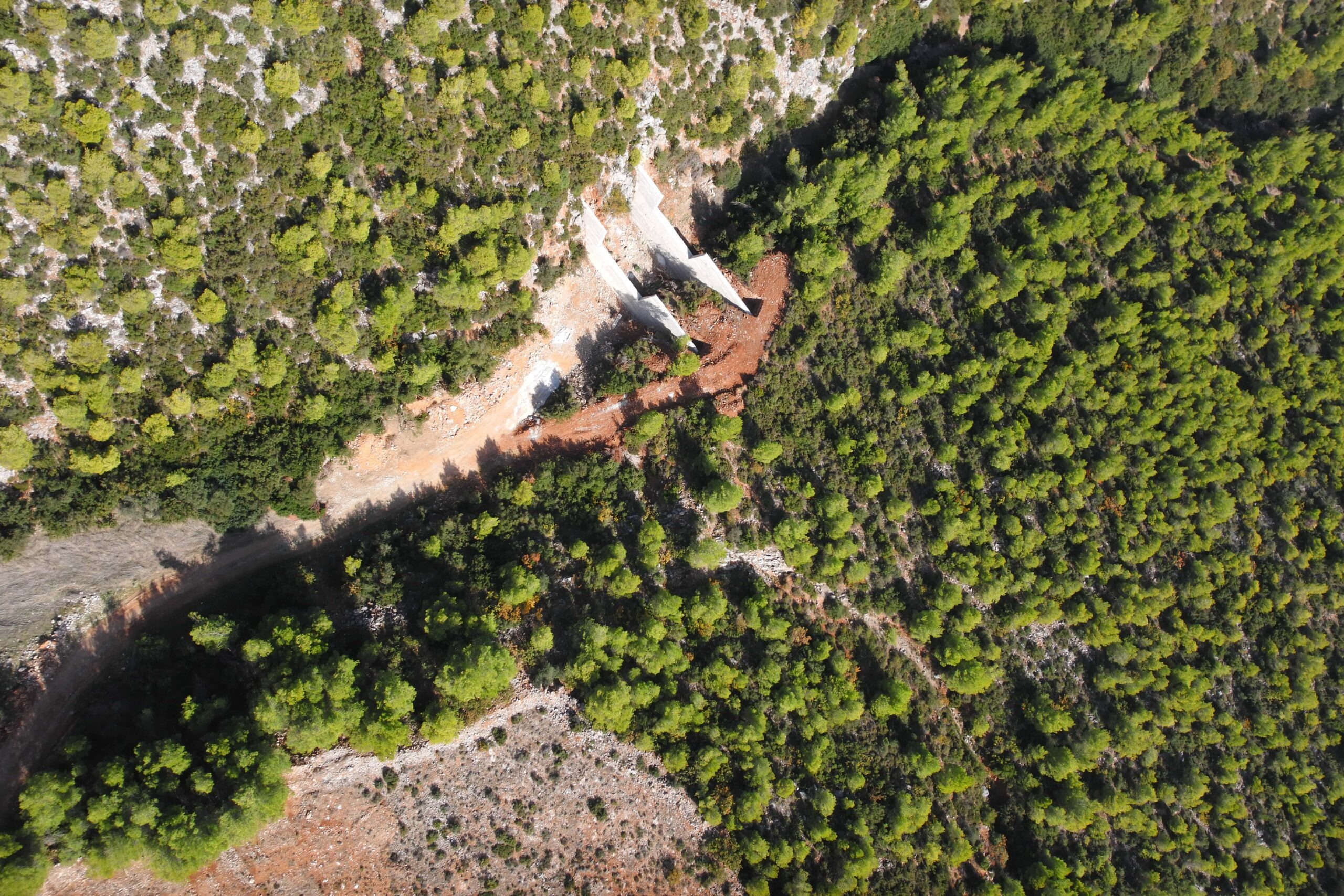
Automated drone flight over the area of interest.
02
Data processing & georeferencing in the office.
03
Delivery of maps & measurements, ready for use.
What We Measure with Precision
We work with:
Why choose us: