The countdown to the completion of the National Cadastre by 2026 has begun. For thousands of property owners, this process is not just a simple declaration of ownership, but a real battle with Forest Maps. The cross-checking of Cadastre and Forest Service records brings to light codes such as DA and AD, which may determine whether a parcel belongs to a private individual or passes definitively to the State.
At Ensogreen, our team of forestry experts handles such cases on a daily basis. Understanding these codes is the first step toward safeguarding your property. This is not a bureaucratic detail, but the essential legal and technical status of your property.
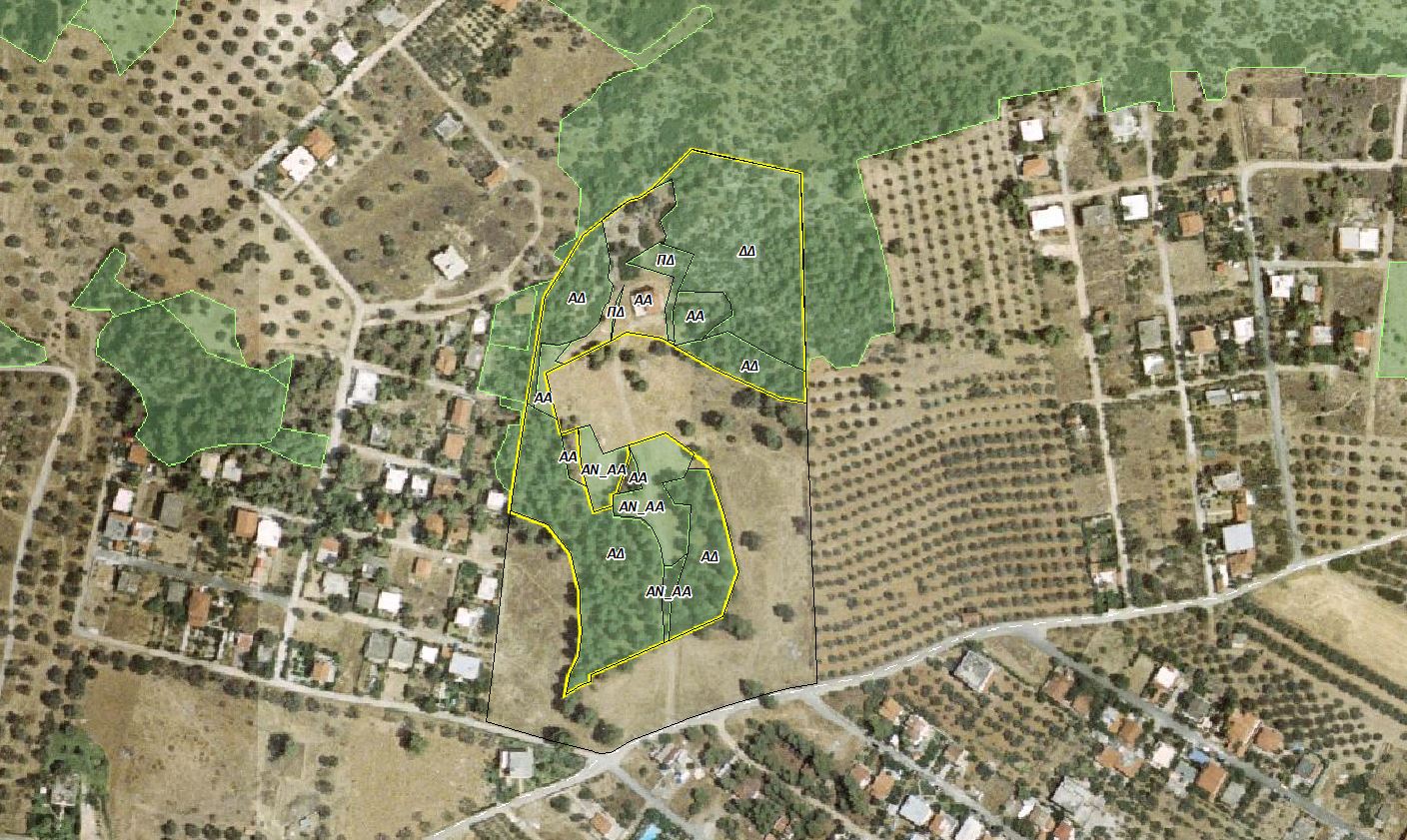
Decoding Forest Maps: DA and AD
These codes result from the comparison of historical aerial photographs (1945/1960) with the current condition of the land.
1. Code DA (Forest in 1945 – Other Today)
- What it means: The DA code refers to areas that appeared as forest land in old aerial photographs, but have a different form today (cleared for cultivation or construction).
- The risk: If the area was forest land in 1945, the State retains strong ownership claims. Without indisputable title deeds or lawful administrative acts, the current status of your property remains uncertain.
2. Code AD (Other in 1945 – Forest Today)
This is the most common and “dangerous” case. It concerns the so-called “reforested agricultural lands”.
- What it means: Land that was clearly agricultural in 1945 (A), but due to the abandonment of cultivation over the decades, later became forested (D).
- The impact: Nature “returned,” and the law often claims it accordingly. Even if you hold inherited title deeds, the change in the land’s character may deprive you of the right to exploit or develop it.
The “Rescue” of AD Areas: The Path Toward AA
Is there a solution for a reforested agricultural parcel? The answer is yes, under specific conditions. A parcel currently shown on the maps with the code AD may, through the prescribed scientific and administrative procedures, be recognized as AA (Agricultural in the past – Agricultural today).
To achieve this, it is necessary to prepare a specialized technical file, documenting the historical development of the land and meeting the strict criteria set by the administration.
Declassification Procedure: The Photointerpretation Technical Report by Ensogreen
The main tool for documenting the character of a parcel and supporting your ownership rights in forest map and Cadastre procedures is the Photointerpretation Technical Report. At Ensogreen, we follow a strict analysis protocol:
- Stereoscopic Study of Historical Aerial Photographs: We analyze aerial photographs from 1945, 1960, 1975, and 1990.
- Identification of Cultivation “Traces”: We look for evidence not visible to the naked eye, such as old terraces, ploughing traces, fruit trees, or remnants of rural buildings.
- Preparation of the Technical File: We create a comprehensive report proving the long-term agricultural use of the land.
This report is the strongest “weapon” in a lawyer’s hands for filing an objection to the forest map or an application for correction of an obvious error.
Why Trust Ensogreen
Protecting property rights against the State requires a partner who speaks the language of forest maps. Ensogreen acts as the strategic link between the property owner, the lawyer, and the Forest Service.
With the completion of the Cadastre in 2026, time margins are narrowing. A parcel that appears today as “AD” may tomorrow become permanently unavailable for use or development. The timely intervention of a specialized forestry expert is not a cost; it is the investment that ensures your land remains yours.
Have you identified DA or AD codes on your property? Do not wait until the Cadastre deadlines expire.
Contact us today for a preliminary review of your property, and let Ensogreen’s team of forestry experts safeguard your assets.